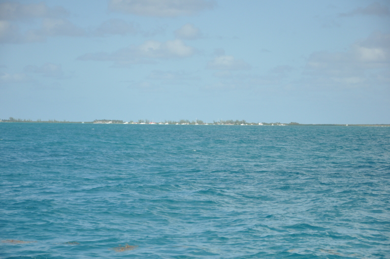
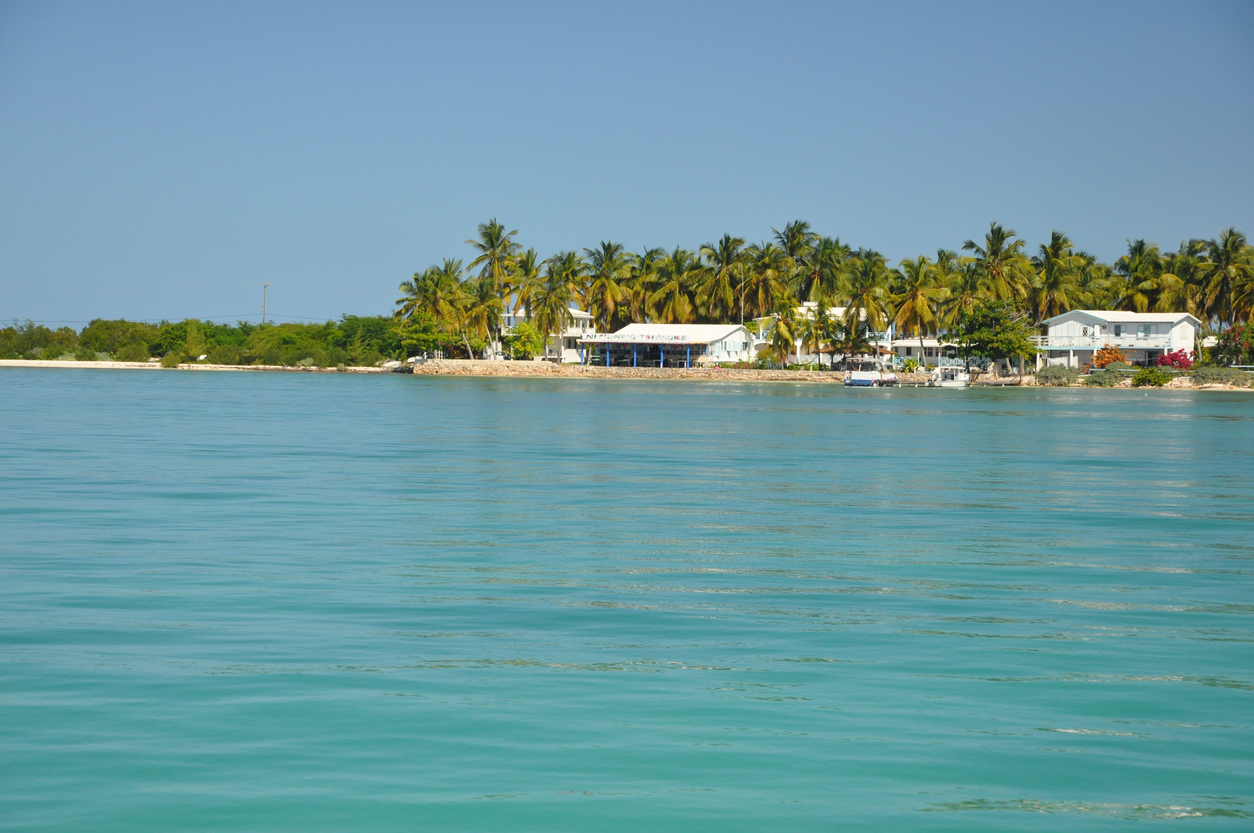
We spent several days at Anegada about a week ago and are looking forward to returning before we move on from the British Virgin Islands. Anegada is different from the rest of the island chain as it is not formed from volcanic activity many years ago, but instead was formed by plates colliding below the seabed. As a result the area leading up to the island shallows gradually and the island itself is only 28 feet tall at highest point. This made it difficult to navigate to prior to GPS as you can’t see it until you are close and it is nearly entirely surrounded by reefs. I have to admit part of me wishes GPS wasn’t around as it would make it even more peaceful.
When we arrived we toured through the mooring field to discover that there were fewer moorings than the time we went a few years ago while on our intermediate cruising course which was a benefit to us as we wanted to anchor anyway. We anchored with not more than 2 feet of water under the keel and the next morning when the water was clear Magnus and I toured around scoping out bottom so we would know where we could go to anchor without hitting bottom once high season arrives and the number of boats in the anchorage increases.

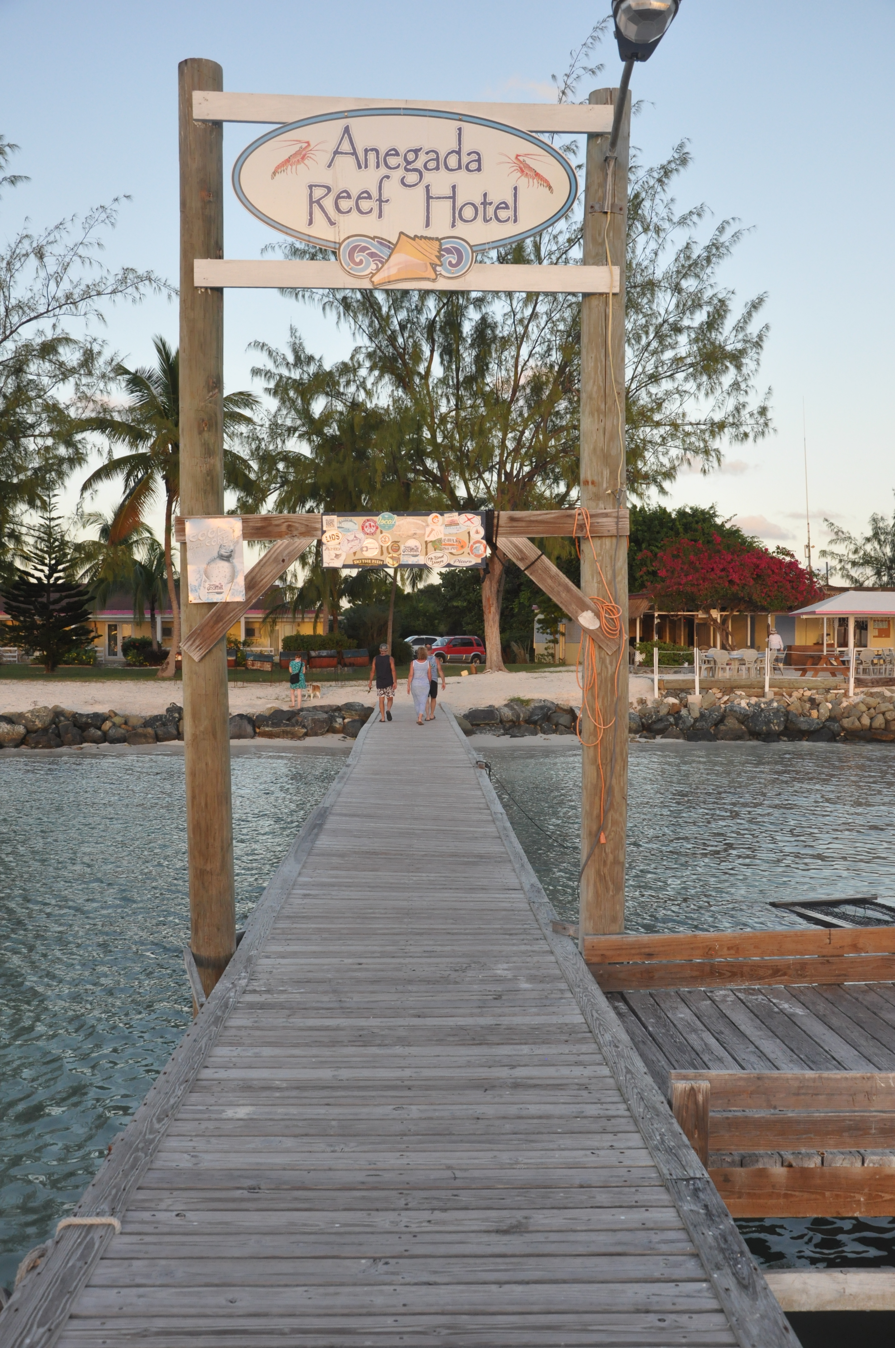

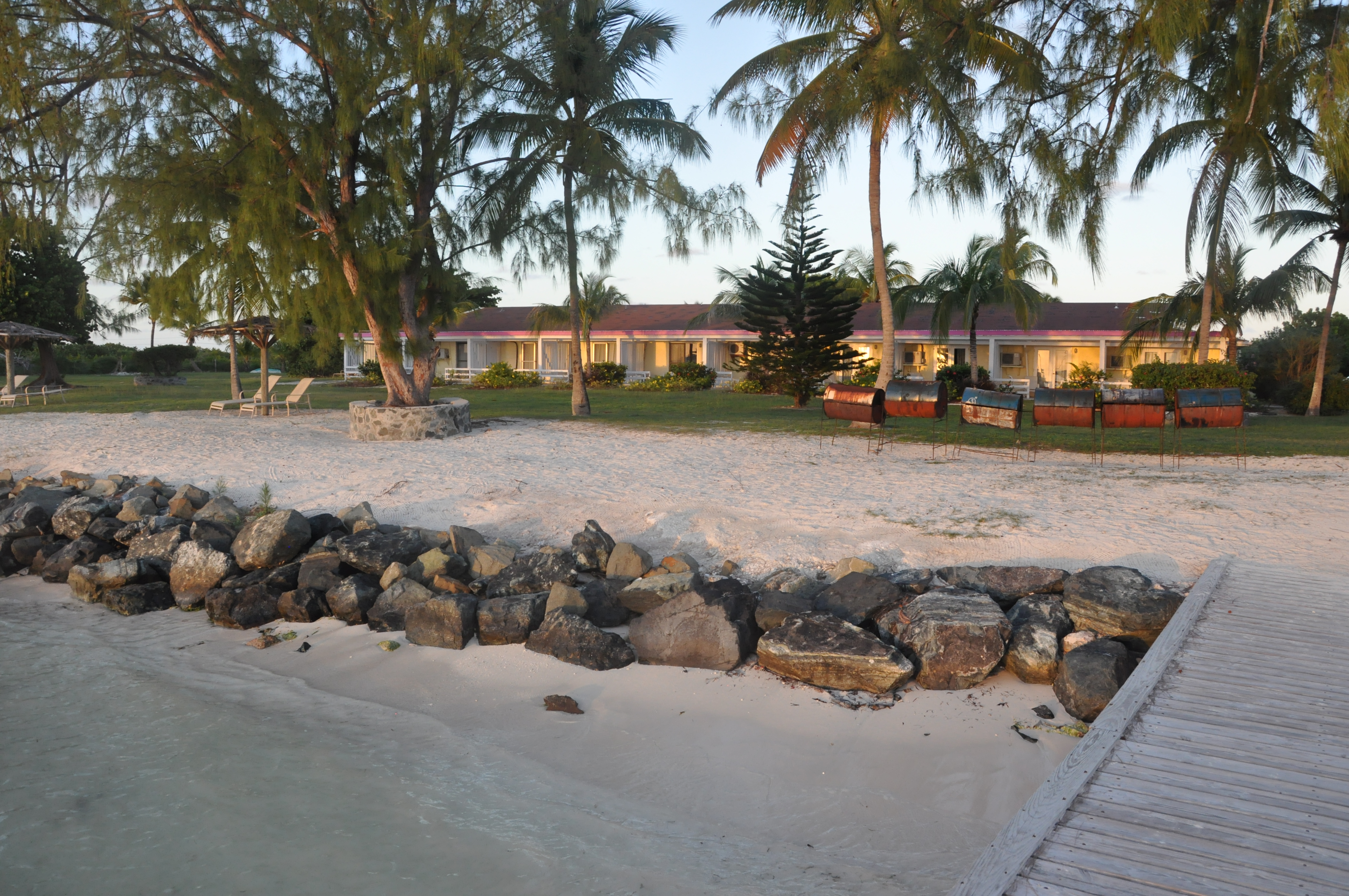
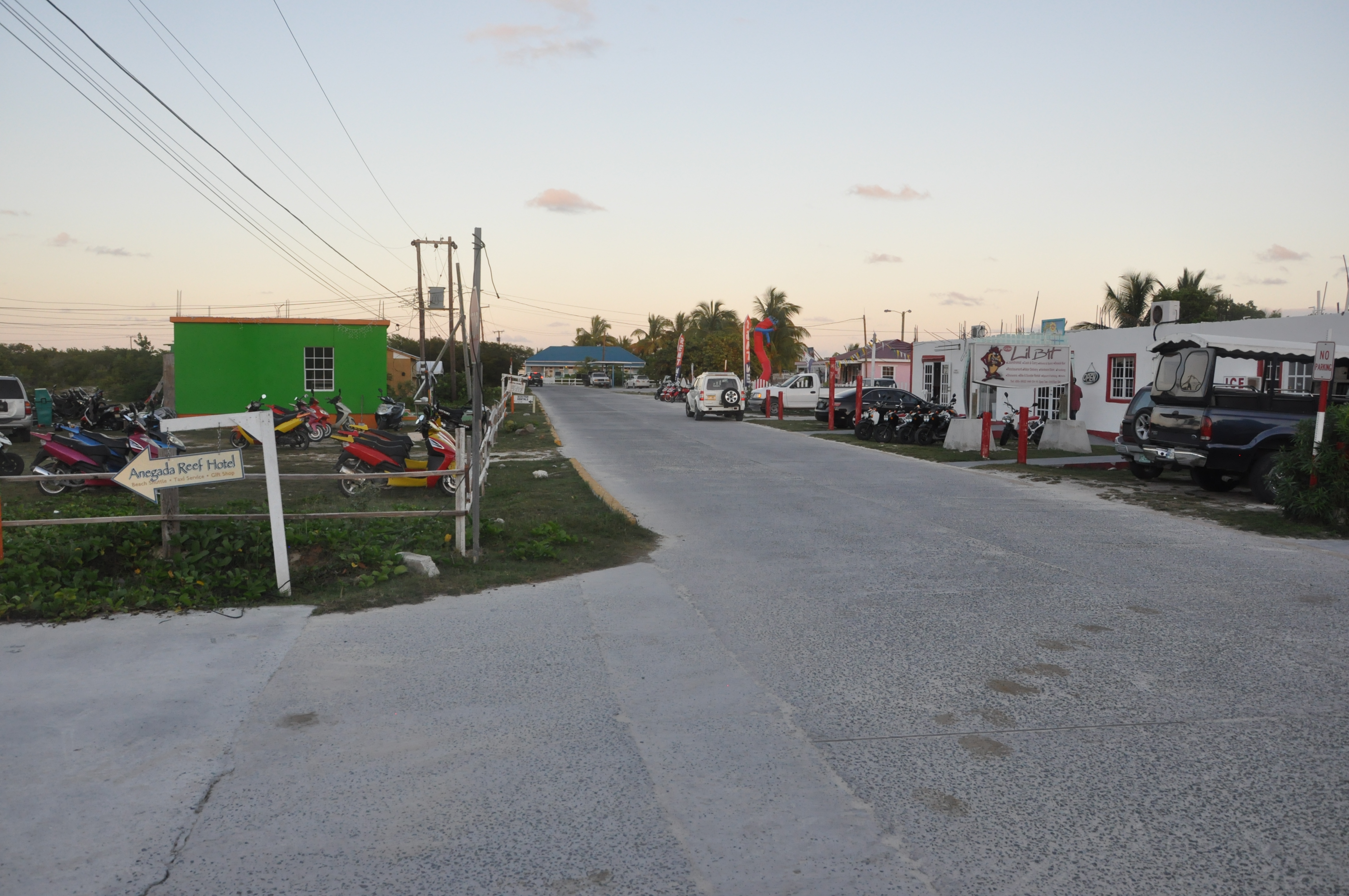
We explored the area around the main anchorage onshore, but didn’t make it to the little settlement village as this requires either a taxi or a rental car, or a morning bike ride (which I intend to do next time). During low season there are a few quaint little cottages and hotels that would be a great getaway place if like sandy beaches and minimal tourists. Rush hour at the traffic circle consisted of 3 goats crossing the street.

Presumably this sign leads to the 28 foot peak on the island?

Magnus and I did a couple of morning hikes along the soft sandy beaches and didn’t see another person. The only downfall is the sand here is extremely fine and even though I thought Magnus was clean, he snuck a ton of sand onto the boat which took days to get rid of.
Another day, we all took a dinghy ride and toured all the way to the west end of the island and then stopped on our way back to swim and play with the Magnus along part of the beach.
One afternoon we decided to have a lunch stop at Neptune’s Treasure and I went in ahead to ask if there was a place we could sit as we had Magnus with us. The lady walked outside, motioned with her arms and said we could sit anywhere and even brought him some water to drink.
In the end we cut our stay short a day as the winds were forecast to fall for several days and it makes more sense to sail than it does motor, so we departed for Little Harbour on Peter Island so that we could make it to Road Town the next morning to apply for an extension of our travel visa.
On our first visit 10 years ago, charter boats were not equipped with any GPS and the charter companies were not allowing anyone to make the passage unless they had been there before. We got close enough to see a few treetops but were obliged to turn back.
We made it out on our second trip down as a part of a flotilla – took a mooring ball as far from the crowds as possible and walked those same sugar beaches.
They lost a number of mooring balls in a hurricane a few years ago and never replaced them. I’m sure it’s going to get a bit crazy there over the next couple weeks now that there are chart plotters and GPS on every boat.
Hey Jeff,
Been following a bit here and there, I think it is crazy and amazing that you are doing this. Stay safe buddy and continue to enjoy your trip. Looks like it is quite the adventure you guys are on.
Take care,
Joe Gauci
Thanks Joe. Drop me a line next summer and perhaps we can catch up as we expect to be home for a bit next summer